
Rudnik nad Sanem topographic map
Interactive map
Click on the map to display elevation.
About this map
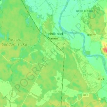
Name: Rudnik nad Sanem topographic map, elevation, terrain.
Average elevation: 167 m
Minimum elevation: 151 m
Maximum elevation: 196 m
Other topographic maps
Click on a map to view its topography, its elevation and its terrain.
Ulanów
Poland > Subcarpathian Voivodeship > Nisko County
Ulanów, gmina Ulanów, Nisko County, Subcarpathian Voivodeship, 37-410, Poland
Average elevation: 165 m