
Tangalooma topographic map
Interactive map
Click on the map to display elevation.
About this map
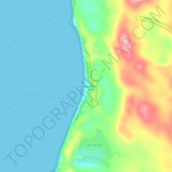
Name: Tangalooma topographic map, elevation, terrain.
Location: Tangalooma, Queensland, Australia (-27.19772 153.35350 -27.15772 153.39350)
Average elevation: 41 m
Minimum elevation: 0 m
Maximum elevation: 139 m