
Thank you for supporting this site ❤️
Make a donation
Make a donation
Darling topographic map
Click on the map to display elevation.
Thank you for supporting this site ❤️
Make a donation
Make a donation
About this map
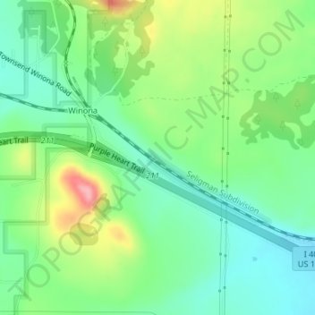
Name: Darling topographic map, elevation, terrain.
Location: Darling, Coconino County, Arizona, United States (35.19097 -111.41039 35.21097 -111.39039)
Average elevation: 1,916 m
Minimum elevation: 1,873 m
Maximum elevation: 1,998 m
Thank you for supporting this site ❤️
Make a donation
Make a donation
Other topographic maps
Click on a map to view its topography, its elevation and its terrain.
Grand Canyon Village
United States > Arizona > Coconino County > Grand Canyon Village
Average elevation: 1,666 m