
Værøy topographic map
Interactive map
Click on the map to display elevation.
About this map
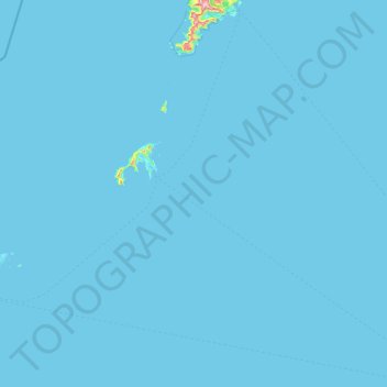
Name: Værøy topographic map, elevation, terrain.
Location: Værøy, Nordland, 8063, Norway (67.36496 11.98772 67.87008 13.50668)
Average elevation: 3 m
Minimum elevation: 0 m
Maximum elevation: 816 m
Other topographic maps
Click on a map to view its topography, its elevation and its terrain.