
Thank you for supporting this site ❤️
Make a donation
Make a donation
Steves Pass topographic map
Click on the map to display elevation.
Thank you for supporting this site ❤️
Make a donation
Make a donation
About this map
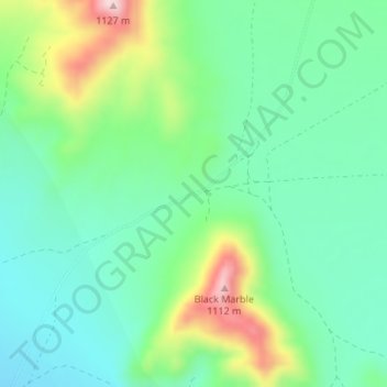
Name: Steves Pass topographic map, elevation, terrain.
Location: Steves Pass, Beatty, Nye County, Nevada, United States (36.75789 -116.62772 36.75799 -116.62762)
Average elevation: 915 m
Minimum elevation: 829 m
Maximum elevation: 1,116 m
Thank you for supporting this site ❤️
Make a donation
Make a donation