
West Union topographic map
Interactive map
Click on the map to display elevation.
About this map
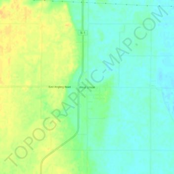
Name: West Union topographic map, elevation, terrain.
Location: West Union, Clark County, Illinois, 62477, USA (39.19587 -87.68614 39.23587 -87.64614)
Average elevation: 148 m
Minimum elevation: 136 m
Maximum elevation: 163 m