
Thank you for supporting this site ❤️
Make a donation
Make a donation
Comas topographic map
Click on the map to display elevation.
Thank you for supporting this site ❤️
Make a donation
Make a donation
About this map
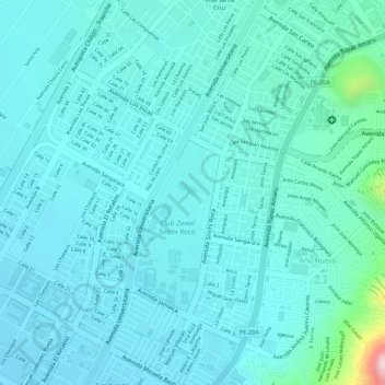
Name: Comas topographic map, elevation, terrain.
Location: Comas, Lima, Perú (-11.91936 -77.04756 -11.91910 -77.04735)
Average elevation: 155 m
Minimum elevation: 115 m
Maximum elevation: 397 m
Thank you for supporting this site ❤️
Make a donation
Make a donation
Other topographic maps
Click on a map to view its topography, its elevation and its terrain.