
Yanasara topographic map
Interactive map
Click on the map to display elevation.
About this map
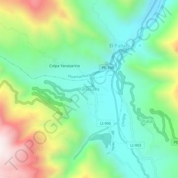
Name: Yanasara topographic map, elevation, terrain.
Location: Yanasara, Provincia de Sánchez Carrión, La Libertad, Perú (-7.82109 -77.93318 -7.78109 -77.89318)
Average elevation: 2,628 m
Minimum elevation: 2,297 m
Maximum elevation: 3,321 m