
Rodanthe topographic map
Interactive map
Click on the map to display elevation.
About this map
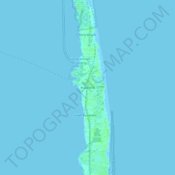
Name: Rodanthe topographic map, elevation, terrain.
Location: Rodanthe, Dare County, Caroline du Nord, 27968, États-Unis (35.57351 -75.48794 35.61351 -75.44794)
Average elevation: 0 m
Minimum elevation: -1 m
Maximum elevation: 7 m