
Oberentfelden topographic map
Interactive map
Click on the map to display elevation.
About this map
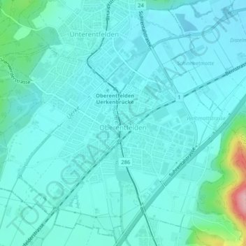
Name: Oberentfelden topographic map, elevation, terrain.
Location: Oberentfelden, Bezirk Aarau, Argovie, 5036, Suisse (47.34897 8.03185 47.36551 8.05884)
Average elevation: 424 m
Minimum elevation: 400 m
Maximum elevation: 574 m