
Marbach topographic map
Click on the map to display elevation.
About this map
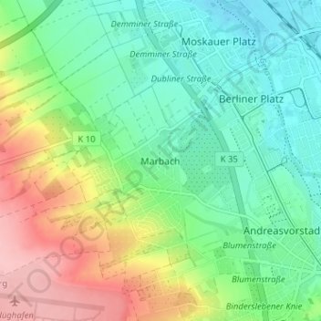
Name: Marbach topographic map, elevation, terrain.
Location: Marbach, Erfurt, Thuringia, 99092, Germany (50.97679 10.96758 51.01679 11.00758)
Average elevation: 225 m
Minimum elevation: 176 m
Maximum elevation: 319 m
Other topographic maps
Click on a map to view its topography, its elevation and its terrain.