
Santa Rosa del Sara topographic map
Interactive map
Click on the map to display elevation.
About this map
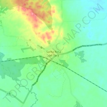
Name: Santa Rosa del Sara topographic map, elevation, terrain.
Location: Santa Rosa del Sara, Sara, Santa Cruz, Bolivia (-17.14915 -63.63887 -17.06915 -63.55887)
Average elevation: 255 m
Minimum elevation: 228 m
Maximum elevation: 316 m