
松陵街道 topographic map
Interactive map
Click on the map to display elevation.
About this map
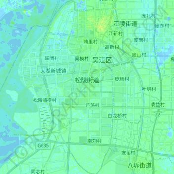
Name: 松陵街道 topographic map, elevation, terrain.
Location: 松陵街道, 吴江区, 苏州市, 江苏省, 215200, 中国 (31.07053 120.54999 31.17818 120.66291)
Average elevation: 3 m
Minimum elevation: -5 m
Maximum elevation: 10 m