
Thank you for supporting this site ❤️
Make a donation
Make a donation
Tiendeveen topographic map
Click on the map to display elevation.
Thank you for supporting this site ❤️
Make a donation
Make a donation
About this map
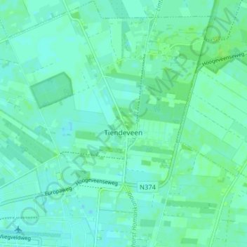
Name: Tiendeveen topographic map, elevation, terrain.
Location: Tiendeveen, Hoogeveen, Drenthe, Netherlands (52.72860 6.51276 52.76810 6.56639)
Average elevation: 15 m
Minimum elevation: 11 m
Maximum elevation: 21 m
Thank you for supporting this site ❤️
Make a donation
Make a donation
Other topographic maps
Click on a map to view its topography, its elevation and its terrain.