
Targnon topographic map
Interactive map
Click on the map to display elevation.
About this map
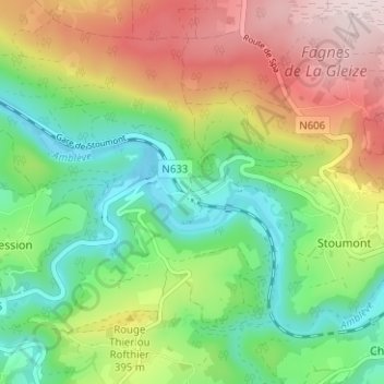
Name: Targnon topographic map, elevation, terrain.
Location: Targnon, Stoumont, Verviers, Liège, Wallonie, 4987, Belgique (50.39222 5.76357 50.43222 5.80357)
Average elevation: 334 m
Minimum elevation: 181 m
Maximum elevation: 564 m