
Thank you for supporting this site ❤️
Make a donation
Make a donation
Locht topographic map
Click on the map to display elevation.
Thank you for supporting this site ❤️
Make a donation
Make a donation
About this map
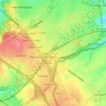
Name: Locht topographic map, elevation, terrain.
Location: Locht, Kerkrade, Limburg, Nederland, 6465 AJ, Nederland (50.82936 5.99630 50.86936 6.03630)
Average elevation: 165 m
Minimum elevation: 127 m
Maximum elevation: 201 m
Thank you for supporting this site ❤️
Make a donation
Make a donation