
Thank you for supporting this site ❤️
Make a donation
Make a donation
Leban topographic map
Click on the map to display elevation.
Thank you for supporting this site ❤️
Make a donation
Make a donation
About this map
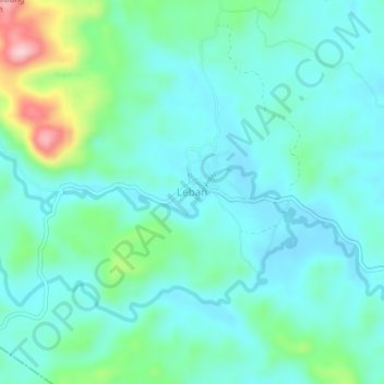
Name: Leban topographic map, elevation, terrain.
Location: Leban, Rantau Pandan, Bungo, Jambi, Sumatra, Indonesien (-1.64946 101.87575 -1.60946 101.91575)
Average elevation: 132 m
Minimum elevation: 88 m
Maximum elevation: 297 m
Thank you for supporting this site ❤️
Make a donation
Make a donation