
Thank you for supporting this site ❤️
Make a donation
Make a donation
Deoni topographic map
Click on the map to display elevation.
Thank you for supporting this site ❤️
Make a donation
Make a donation
About this map
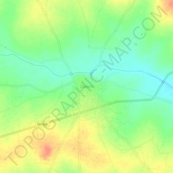
Name: Deoni topographic map, elevation, terrain.
Location: Deoni, Latur District, Maharashtra, 413519, India (18.24444 77.06213 18.28444 77.10213)
Average elevation: 585 m
Minimum elevation: 564 m
Maximum elevation: 609 m
Thank you for supporting this site ❤️
Make a donation
Make a donation