
Baulers topographic map
Interactive map
Click on the map to display elevation.
About this map
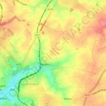
Name: Baulers topographic map, elevation, terrain.
Location: Baulers, Nivelles, Brabant wallon, Wallonie, 1401, Belgique (50.59889 4.32135 50.63524 4.39271)
Average elevation: 136 m
Minimum elevation: 93 m
Maximum elevation: 162 m