
Unternberg topographic map
Interactive map
Click on the map to display elevation.
About this map
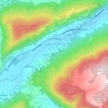
Name: Unternberg topographic map, elevation, terrain.
Location: Unternberg, Bezirk Tamsweg, Salzbourg, 5585, Autriche (47.08327 13.69814 47.12459 13.78480)
Average elevation: 1,274 m
Minimum elevation: 1,013 m
Maximum elevation: 1,762 m