
Ager topographic map
Interactive map
Click on the map to display elevation.
About this map
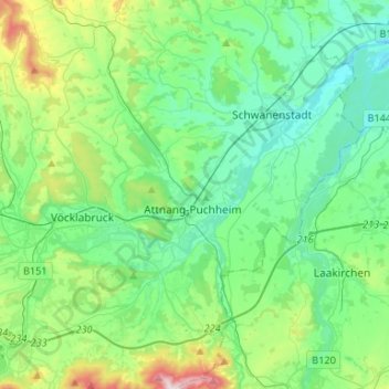
Name: Ager topographic map, elevation, terrain.
Location: Ager, Bezirk Vöcklabruck, Opper-Oostenrijk, Oostenrijk (47.94829 13.59478 48.08769 13.85905)
Average elevation: 469 m
Minimum elevation: 348 m
Maximum elevation: 893 m