
洸河街道 topographic map
Interactive map
Click on the map to display elevation.
About this map
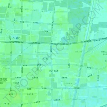
Name: 洸河街道 topographic map, elevation, terrain.
Location: 洸河街道, 济宁高新技术产业开发区, 任城区, 济宁市, 山东省, 中国 (35.42012 116.59303 35.45081 116.64790)
Average elevation: 41 m
Minimum elevation: 36 m
Maximum elevation: 44 m
Other topographic maps
Click on a map to view its topography, its elevation and its terrain.