
Thank you for supporting this site ❤️
Make a donation
Make a donation
Queñuani topographic map
Click on the map to display elevation.
Thank you for supporting this site ❤️
Make a donation
Make a donation
About this map
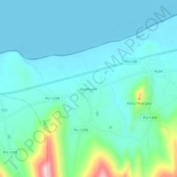
Name: Queñuani topographic map, elevation, terrain.
Location: Queñuani, Yunguyo, Puno, Perú (-16.28533 -69.17610 -16.24533 -69.13610)
Average elevation: 3,871 m
Minimum elevation: 3,813 m
Maximum elevation: 4,144 m
Thank you for supporting this site ❤️
Make a donation
Make a donation
Other topographic maps
Click on a map to view its topography, its elevation and its terrain.