
Thank you for supporting this site ❤️
Make a donation
Make a donation
La Correra topographic map
Click on the map to display elevation.
Thank you for supporting this site ❤️
Make a donation
Make a donation
About this map
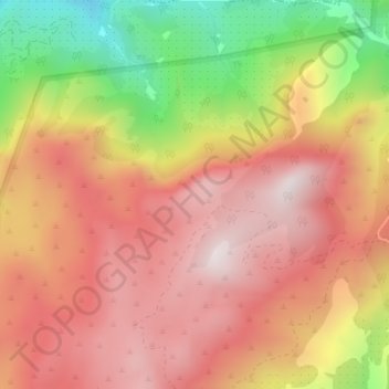
Name: La Correra topographic map, elevation, terrain.
Location: La Correra, Iznatoraf, Jaén, Andalucía, España (38.11424 -2.93950 38.13424 -2.91950)
Average elevation: 1,134 m
Minimum elevation: 675 m
Maximum elevation: 1,428 m
Thank you for supporting this site ❤️
Make a donation
Make a donation