
Thank you for supporting this site ❤️
Make a donation
Make a donation
Kaiserberg topographic map
Click on the map to display elevation.
Thank you for supporting this site ❤️
Make a donation
Make a donation
About this map
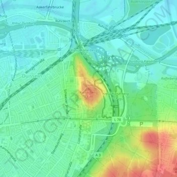
Name: Kaiserberg topographic map, elevation, terrain.
Location: Kaiserberg, Дуйсбург, Северный Рейн — Вестфалия, 45058, Германия (51.43783 6.80149 51.43793 6.80159)
Average elevation: 41 m
Minimum elevation: 24 m
Maximum elevation: 84 m
Thank you for supporting this site ❤️
Make a donation
Make a donation