
Thank you for supporting this site ❤️
Make a donation
Make a donation
Wattegama topographic map
Click on the map to display elevation.
Thank you for supporting this site ❤️
Make a donation
Make a donation
About this map
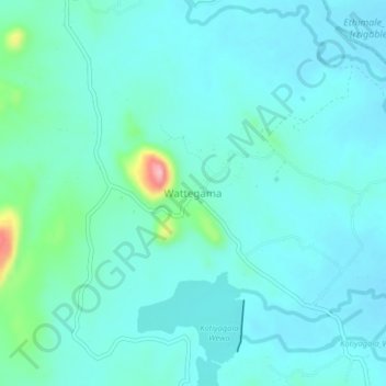
Name: Wattegama topographic map, elevation, terrain.
Location: Wattegama, Monaragala District, Uva Province, Sri Lanka (6.77470 81.48832 6.81470 81.52832)
Average elevation: 89 m
Minimum elevation: 66 m
Maximum elevation: 216 m
Thank you for supporting this site ❤️
Make a donation
Make a donation