
Thank you for supporting this site ❤️
Make a donation
Make a donation
Umbu topographic map
Click on the map to display elevation.
Thank you for supporting this site ❤️
Make a donation
Make a donation
About this map
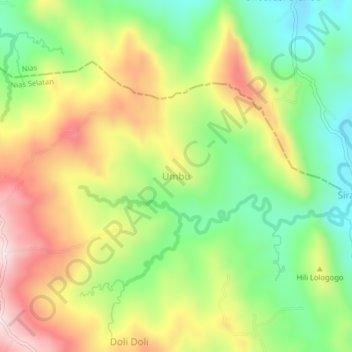
Name: Umbu topographic map, elevation, terrain.
Location: Umbu, Nias Selatan, Sumatera Utara, Sumatra, Indonésia (0.90388 97.76534 0.94388 97.80534)
Average elevation: 261 m
Minimum elevation: 74 m
Maximum elevation: 490 m
Thank you for supporting this site ❤️
Make a donation
Make a donation