
La Pointue topographic map
Interactive map
Click on the map to display elevation.
About this map
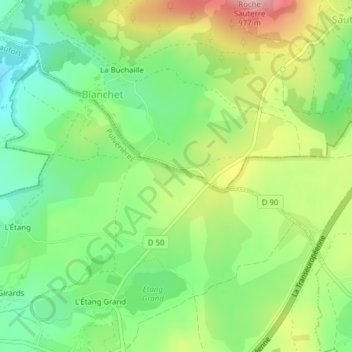
Name: La Pointue topographic map, elevation, terrain.
Average elevation: 856 m
Minimum elevation: 785 m
Maximum elevation: 962 m
Other topographic maps
Click on a map to view its topography, its elevation and its terrain.
Roche Brune
France > Auvergne-Rhône-Alpes > Puy-de-Dôme > Pulvérières > Roche Brune
Roche Brune, Pulvérières, Riom, Puy-de-Dôme, Auvergne-Rhône-Alpes, France métropolitaine, 63230, France
Average elevation: 844 m