
Thank you for supporting this site ❤️
Make a donation
Make a donation
Cross Hands topographic map
Click on the map to display elevation.
Thank you for supporting this site ❤️
Make a donation
Make a donation
About this map
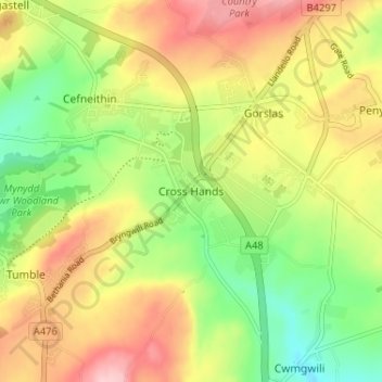
Name: Cross Hands topographic map, elevation, terrain.
Location: Cross Hands, Carmarthenshire, Wales, SA14 6NA, United Kingdom (51.77497 -4.10594 51.81497 -4.06594)
Average elevation: 163 m
Minimum elevation: 78 m
Maximum elevation: 257 m
Thank you for supporting this site ❤️
Make a donation
Make a donation