
Boncelles topographic map
Interactive map
Click on the map to display elevation.
About this map
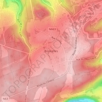
Name: Boncelles topographic map, elevation, terrain.
Location: Boncelles, Seraing, Luik, Wallonië, 4100, België (50.55028 5.51785 50.59028 5.55785)
Average elevation: 234 m
Minimum elevation: 78 m
Maximum elevation: 275 m