
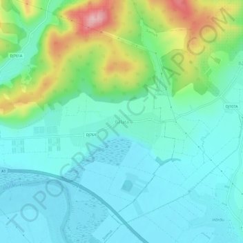
Bălata topographic map
Interactive map
Click on the map to display elevation.
About this map
Name: Bălata topographic map, elevation, terrain.
Location: Bălata, Hunedoara, 337451, Roumanie (45.89816 22.90912 45.93816 22.94912)
Average elevation: 224 m
Minimum elevation: 179 m
Maximum elevation: 360 m