
Thank you for supporting this site ❤️
Make a donation
Make a donation
Cerro Kennedy topographic map
Click on the map to display elevation.
Thank you for supporting this site ❤️
Make a donation
Make a donation
About this map
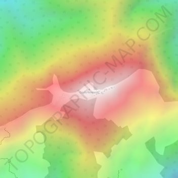
Name: Cerro Kennedy topographic map, elevation, terrain.
Location: Cerro Kennedy, Santa Marta, Magdalena, RAP Caribe, Colombia (11.11296 -74.03579 11.11306 -74.03569)
Average elevation: 2,366 m
Minimum elevation: 1,782 m
Maximum elevation: 2,844 m
Thank you for supporting this site ❤️
Make a donation
Make a donation
Other topographic maps
Click on a map to view its topography, its elevation and its terrain.