
Thank you for supporting this site ❤️
Make a donation
Make a donation
Patronville topographic map
Click on the map to display elevation.
Thank you for supporting this site ❤️
Make a donation
Make a donation
About this map
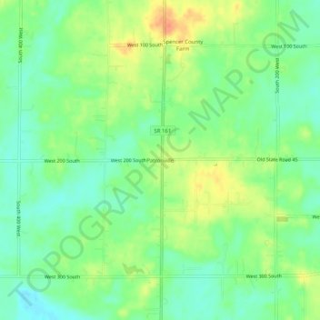
Name: Patronville topographic map, elevation, terrain.
Location: Patronville, Spencer County, Indiana, 47635, United States (37.83838 -87.13055 37.87838 -87.09055)
Average elevation: 130 m
Minimum elevation: 112 m
Maximum elevation: 155 m
Thank you for supporting this site ❤️
Make a donation
Make a donation
Other topographic maps
Click on a map to view its topography, its elevation and its terrain.