
Thank you for supporting this site ❤️
Make a donation
Make a donation
Exel topographic map
Click on the map to display elevation.
Thank you for supporting this site ❤️
Make a donation
Make a donation
About this map
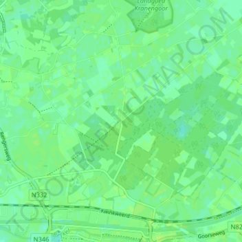
Name: Exel topographic map, elevation, terrain.
Location: Exel, Laren, Lochem, Gelderland, Nederland, 7245 VH, Nederland (52.16348 6.39398 52.20348 6.43398)
Average elevation: 14 m
Minimum elevation: 8 m
Maximum elevation: 17 m
Thank you for supporting this site ❤️
Make a donation
Make a donation