
Thank you for supporting this site ❤️
Make a donation
Make a donation
Takat topographic map
Click on the map to display elevation.
Thank you for supporting this site ❤️
Make a donation
Make a donation
About this map
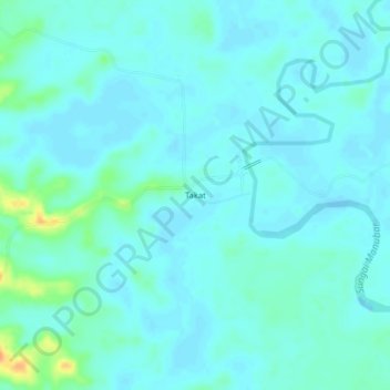
Name: Takat topographic map, elevation, terrain.
Location: Takat, Kutai Timur, Kalimantan oriental, Kalimantan, Indonésie (0.91012 118.41098 0.95012 118.45098)
Average elevation: 7 m
Minimum elevation: -2 m
Maximum elevation: 39 m
Thank you for supporting this site ❤️
Make a donation
Make a donation