
Ben Guerir topographic map
Interactive map
Click on the map to display elevation.
About this map
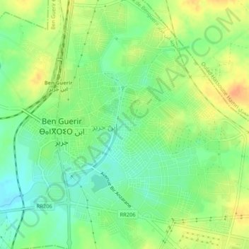
Name: Ben Guerir topographic map, elevation, terrain.
Average elevation: 472 m
Minimum elevation: 455 m
Maximum elevation: 490 m
Other topographic maps
Click on a map to view its topography, its elevation and its terrain.
Ben Guerir
Ben Guerir, Pachalik de Benguerir, Province de Rhamna, Marrakech-Safi, Maroc
Average elevation: 470 m