
Vremde topographic map
Interactive map
Click on the map to display elevation.
About this map
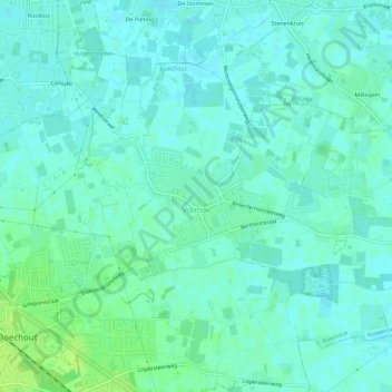
Name: Vremde topographic map, elevation, terrain.
Location: Vremde, Boechout, Antwerp, Flanders, 2531, Belgium (51.16258 4.50772 51.19050 4.56517)
Average elevation: 12 m
Minimum elevation: 7 m
Maximum elevation: 20 m
Other topographic maps
Click on a map to view its topography, its elevation and its terrain.