
San Javier topographic map
Interactive map
Click on the map to display elevation.
About this map
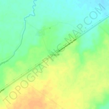
Name: San Javier topographic map, elevation, terrain.
Location: San Javier, General Treviño, Nuevo León, México (26.24347 -99.43974 26.28347 -99.39974)
Average elevation: 139 m
Minimum elevation: 124 m
Maximum elevation: 154 m
Other topographic maps
Click on a map to view its topography, its elevation and its terrain.
General Treviño
México > Nuevo León > General Treviño
General Treviño, Nuevo León, México
Average elevation: 168 m