
Thank you for supporting this site ❤️
Make a donation
Make a donation
Ireland topographic map
Click on the map to display elevation.
Thank you for supporting this site ❤️
Make a donation
Make a donation
About this map
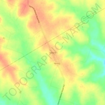
Name: Ireland topographic map, elevation, terrain.
Location: Ireland, Coryell County, Texas, United States (31.54683 -97.98531 31.58683 -97.94531)
Average elevation: 315 m
Minimum elevation: 285 m
Maximum elevation: 336 m
Thank you for supporting this site ❤️
Make a donation
Make a donation
Other topographic maps
Click on a map to view its topography, its elevation and its terrain.