
Thank you for supporting this site ❤️
Make a donation
Make a donation
Ancín topographic map
Click on the map to display elevation.
Thank you for supporting this site ❤️
Make a donation
Make a donation
About this map
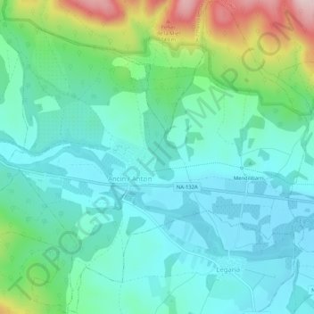
Name: Ancín topographic map, elevation, terrain.
Location: Ancín, Tierra Estella, España (42.64305 -2.21192 42.68056 -2.16048)
Average elevation: 532 m
Minimum elevation: 463 m
Maximum elevation: 752 m
Thank you for supporting this site ❤️
Make a donation
Make a donation
Other topographic maps
Click on a map to view its topography, its elevation and its terrain.