
Lago Reindeer topographic map
Interactive map
Click on the map to display elevation.
About this map
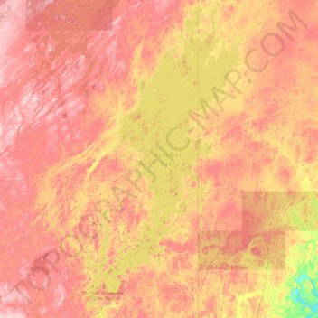
Name: Lago Reindeer topographic map, elevation, terrain.
Average elevation: 379 m
Minimum elevation: 257 m
Maximum elevation: 526 m
Other topographic maps
Click on a map to view its topography, its elevation and its terrain.
Lago Athabasca
Lago Athabasca, Census Division No. 18, Saskatchewan, Canadá
Average elevation: 334 m
Redberry Lake
Redberry Lake, Census Division No. 16, Saskatchewan, Canadá
Average elevation: 508 m