
Brownsweg topographic map
Interactive map
Click on the map to display elevation.
About this map
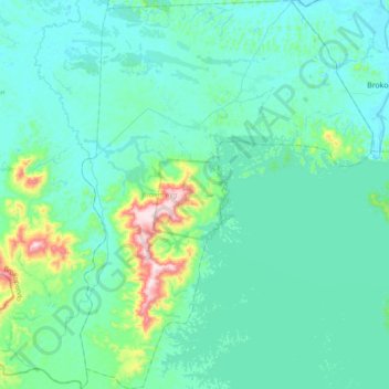
Name: Brownsweg topographic map, elevation, terrain.
Location: Brownsweg, Brokopondo, Suriname (4.75722 -55.28236 5.13975 -54.99283)
Average elevation: 72 m
Minimum elevation: 4 m
Maximum elevation: 518 m