
Jünkerather Schloss "Glaadter Burg" topographic map
Interactive map
Click on the map to display elevation.
About this map
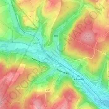
Name: Jünkerather Schloss "Glaadter Burg" topographic map, elevation, terrain.
Average elevation: 495 m
Minimum elevation: 420 m
Maximum elevation: 571 m