
تازركة topographic map
Interactive map
Click on the map to display elevation.
About this map
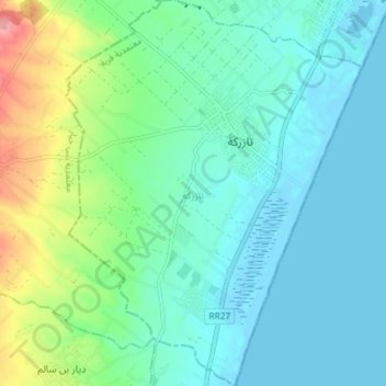
Name: تازركة topographic map, elevation, terrain.
Location: تازركة, معتمدية قربة, Nabeul, 8024, Tunisia (36.50872 10.80361 36.56742 10.85969)
Average elevation: 23 m
Minimum elevation: -4 m
Maximum elevation: 100 m
Other topographic maps
Click on a map to view its topography, its elevation and its terrain.