
Thank you for supporting this site ❤️
Make a donation
Make a donation
Dadhera topographic map
Click on the map to display elevation.
Thank you for supporting this site ❤️
Make a donation
Make a donation
About this map
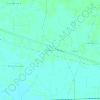
Name: Dadhera topographic map, elevation, terrain.
Location: Dadhera, Patiala Tahsil, Patiala District, Punjab, India (30.33814 76.27310 30.37814 76.31310)
Average elevation: 253 m
Minimum elevation: 250 m
Maximum elevation: 255 m
Thank you for supporting this site ❤️
Make a donation
Make a donation