
흥해읍 topographic map
Interactive map
Click on the map to display elevation.
About this map
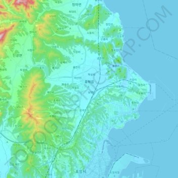
Name: 흥해읍 topographic map, elevation, terrain.
Location: 흥해읍, 북구, Pohang, Gyeongsang du Nord, Corée du Sud (36.04046 129.27514 36.16871 129.50507)
Average elevation: 62 m
Minimum elevation: -1 m
Maximum elevation: 563 m