
Cité des Cocars topographic map
Interactive map
Click on the map to display elevation.
About this map
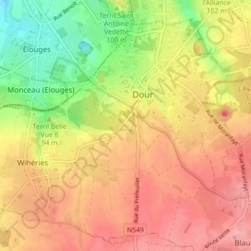
Name: Cité des Cocars topographic map, elevation, terrain.
Location: Cité des Cocars, Dour, Mons, Hainaut, Wallonie, 7370, Belgique (50.37145 3.75431 50.41145 3.79431)
Average elevation: 95 m
Minimum elevation: 34 m
Maximum elevation: 138 m
Other topographic maps
Click on a map to view its topography, its elevation and its terrain.