
Fujiayan topographic map
Click on the map to display elevation.
About this map
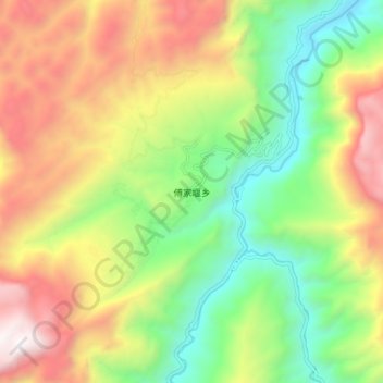
Name: Fujiayan topographic map, elevation, terrain.
Location: Fujiayan, Hubei, China (30.26822 110.43946 30.34822 110.51946)
Average elevation: 1,063 m
Minimum elevation: 285 m
Maximum elevation: 2,076 m
Other topographic maps
Click on a map to view its topography, its elevation and its terrain.
Wuhan
Other well-known lakes include South Lake and Sand Lake. Liangzi Lake, the largest lake by surface area in Hubei province, is located in the southeast of Jiangxia District.The twin peaks at the junction of Huangpi District and Xiaogan City, with an altitude of 872.5 meters, are the highest points in Wuhan.…
Average elevation: 47 m
Shiyan
The far northern and southern reaches of Shiyan are the highest in elevation, while the geographic center of the city has a relatively low elevation. The highest point in Shiyan is Congping in Zhuxi County, at 2,740.2 metres (8,990 ft) above sea level, while the lowest point, Panjiayan in Danjiangkou, is 87…
Average elevation: 782 m
Wuhan
Other well-known lakes include South Lake and Sand Lake. Liangzi Lake, the largest lake by surface area in Hubei province, is located in the southeast of Jiangxia District.The twin peaks at the junction of Huangpi District and Xiaogan City, with an altitude of 872.5 meters, are the highest points in Wuhan.…
Average elevation: 48 m
Shennongjia
Shennongjia Forestry District is named after the Shennongjia mountainous massif, which is usually considered to be the eastern (and the highest) section of the Daba Mountains (Daba Shan). The mountains of Shennongjia form a divide between two parts of the district: the central and northern part drains north,…
Average elevation: 1,280 m
Shiyan
The far northern and southern reaches of Shiyan are the highest in elevation, while the geographic center of the city has a relatively low elevation. The highest point in Shiyan is Congping in Zhuxi County, at 2,740.2 metres (8,990 ft) above sea level, while the lowest point, Panjiayan in Danjiangkou, is 87…
Average elevation: 782 m
Wuhan
Other well-known lakes include South Lake and Sand Lake. Liangzi Lake, the largest lake by surface area in Hubei province, is located in the southeast of Jiangxia District.The twin peaks at the junction of Huangpi District and Xiaogan City, with an altitude of 872.5 meters, are the highest points in Wuhan.…
Average elevation: 48 m
Jingzhou
Jingzhou occupies an area of 14,067 square kilometres (5,431 sq mi) with a topography rising from east to west. It is covered by a dense network of waterways, as well as lakes, and is located in the middle reaches of the Yangtze River on the Jianghan Plain. Downstream to its east lies Wuhan, the provincial…
Average elevation: 156 m
Shiyan
The far northern and southern reaches of Shiyan are the highest in elevation, while the geographic center of the city has a relatively low elevation. The highest point in Shiyan is Congping in Zhuxi County, at 2,740.2 metres (8,990 ft) above sea level, while the lowest point, Panjiayan in Danjiangkou, is 87…
Average elevation: 782 m
Huangshi
Huangshi is located in southeastern Hubei province, primarily along the southwestern bank of one of the major bends in the Yangtze River. It is located 100 kilometers (62 mi) southeast of Wuhan, and borders Jiangxi province to the south. Its area was reported by the local government as 4,583 square kilometers…
Average elevation: 123 m