
덕양구 topographic map
Interactive map
Click on the map to display elevation.
About this map
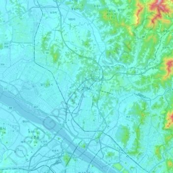
Name: 덕양구 topographic map, elevation, terrain.
Location: 덕양구, Goyang, Gyeonggi, Corée du Sud (37.57179 126.75959 37.74839 126.99427)
Average elevation: 49 m
Minimum elevation: 0 m
Maximum elevation: 566 m