
Thank you for supporting this site ❤️
Make a donation
Make a donation
Flo topographic map
Click on the map to display elevation.
Thank you for supporting this site ❤️
Make a donation
Make a donation
About this map
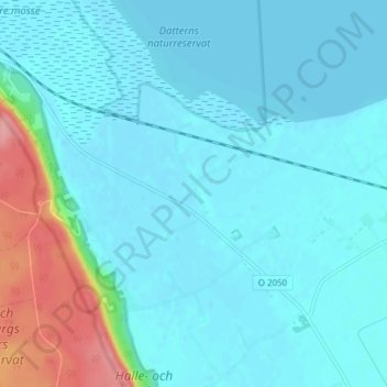
Name: Flo topographic map, elevation, terrain.
Location: Flo, Grästorps kommun, Västra Götalands län, Suécia (58.32825 12.52648 58.36825 12.56648)
Average elevation: 60 m
Minimum elevation: 44 m
Maximum elevation: 147 m
Thank you for supporting this site ❤️
Make a donation
Make a donation
Other topographic maps
Click on a map to view its topography, its elevation and its terrain.